Locations:
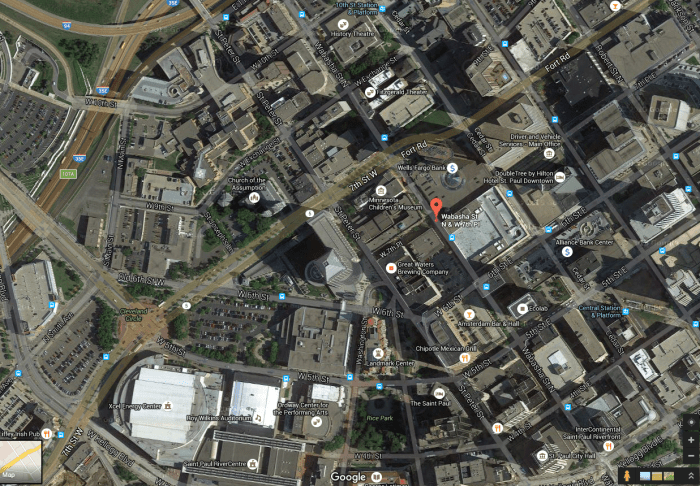
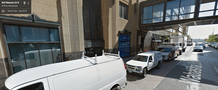
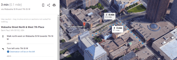
Wabasha St N & W 7th Pl, St Paul, Minnesota 55102, United States (Radio Station)
Google Maps Co-ordinates: 44.947328, -93.096110
Mickey’s Diner – 36 W. 9th Street, St. Paul, Minnesota, USA (Diner) (Built in 1937 by Jerry O’Mahony Diner Company – More info)
Google Maps Co-ordinates: 44.947480, -93.098111

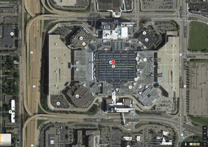
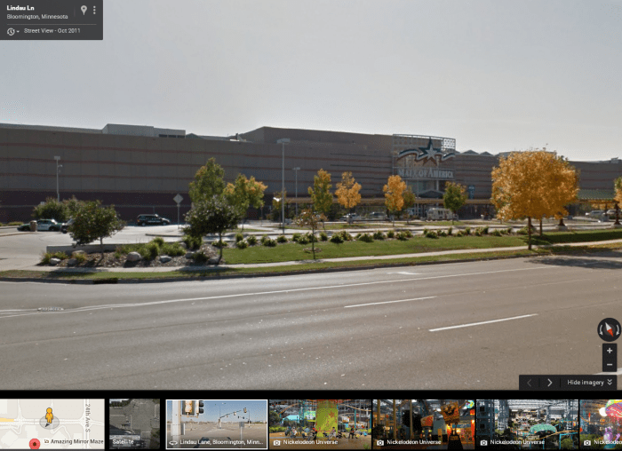
Camp Snoopy, Mall of America, Bloomington, Minnesota, USA (Shopping centre) (More info)
Google Maps Co-ordinates: 44.854789, -93.242114
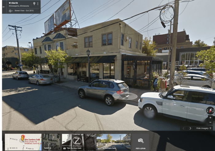
Zumbro Cafe – 4302 Upton Ave S, Minneapolis, Minnesota, USA (Howard knocks police motorcycle down with his car)
Google Maps Co-ordinates: 44.924572, -93.315114

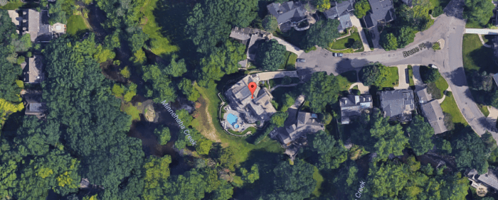
5026 Bruce Avenue, Edina, Minnesota, United States (Ted’s House) (Built in 1939 – More info)
Google Maps Co-ordinates: 44.910485, -93.337472


5028 Bruce Ave, Minneapolis, MN (Howard’s Home) (Built in 1948 – More info)
Google Maps Co-ordinates: 44.910262, -93.337370

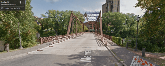
Merriam Street, Minneapolis, Minnesota, United States (Bridge before warehouse) (Opened in 1887 – More info)
Google Maps Co-ordinates: 44.985904, -93.259504
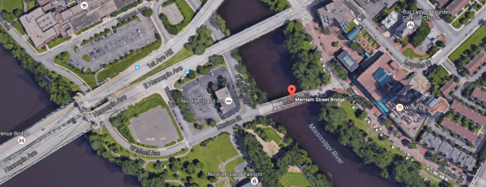
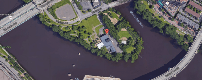
40 Power Street, Minneapolis, Minnesota, United States (Warehouse)
Google Maps Co-ordinates: 44.984930, -93.260080

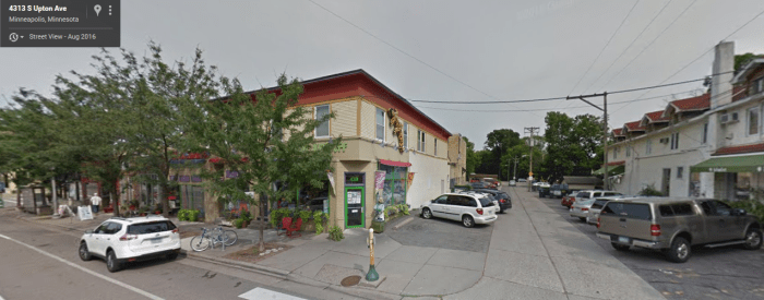
4313 Upton Avenue South, Minneapolis, Minnesota, United States (Toy Store)
Google Maps Co-ordinates: 44.924093, -93.314545

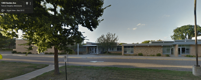
1393 Garden Avenue, Falcon Heights, Minnesota, United States (Jamie’s School)
Google Maps Co-ordinates: 44.995944, -93.158743

Extra:
DID YOU KNOW?
It takes approximately 3-4 minutes (on foot) from Mickey’s Diner to the radio station.
Official Trailer
Release: 22/11/1996
Director: Brian Levant
Run Time: 86m
Age Viewing: PG
Gross: $60,592,389


Love the site– very user friendly and whole lots to see!
LikeLike