Locations:
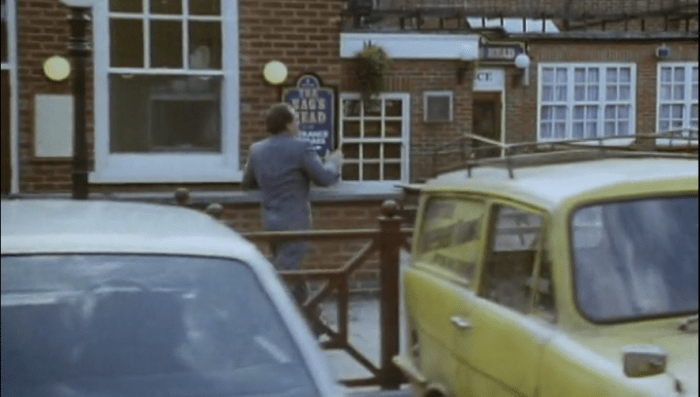
73 White Lion Street, London, London Borough of Islington (The Nag’s head in ‘It Never Rains’)
Google Maps Co-ordinates: 51.532955, -0.109198


Loch Fyne Restaurant, The Granary, Queen Charlotte Street, Bristol (Wine Bar & 121 Club)
Google Maps Co-ordinates: 51.451536, -2.592962


Sotheby’s Cafe, New Bond Street, London (Del & Rodney become millionaires)
Google Maps Co-ordinates: 51.511811, -0.143810


Shadwell Basin, London E1W 3RY (Docklands where Albert runs away in ‘He Ain’t Heavy, He’s My Uncle’)
Google Maps Co-ordinates: 51.508416, -0.052597

London Host Families Ltd, The Grove, London, UK (The Restaurant Arnie fakes a heart attack)
Google Maps Co-ordinates: 51.511047, -0.301349


1-3 Backfields, Bristol, UK (Del & Rodney scare off thieves from Councillor Murray dressed as Batman & Robin)
Google Maps Co-ordinates: 51.461247, -2.589468


Clayesmore School, Iwerne Minster, Blandford Forum (Chandelier Mansion)
Google Maps Co-ordinates: 50.931460, -2.196261

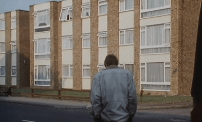
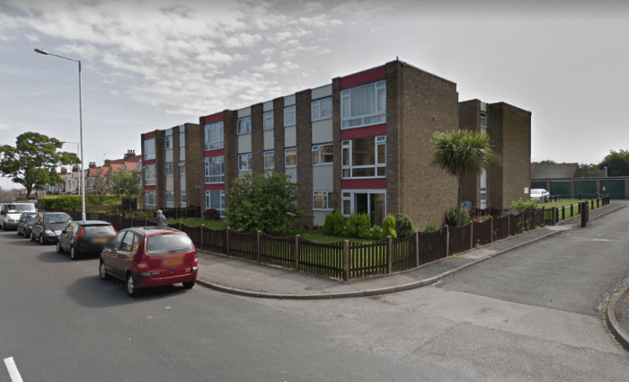
Richard Court, Lower Northdown Ave, Margate, Kent CT9 2NZ, UK (Rodney & Cassandra’s flat seen in Jolly Boy’s Outing)
Google Maps Co-ordinates: 51.385189, 1.401647
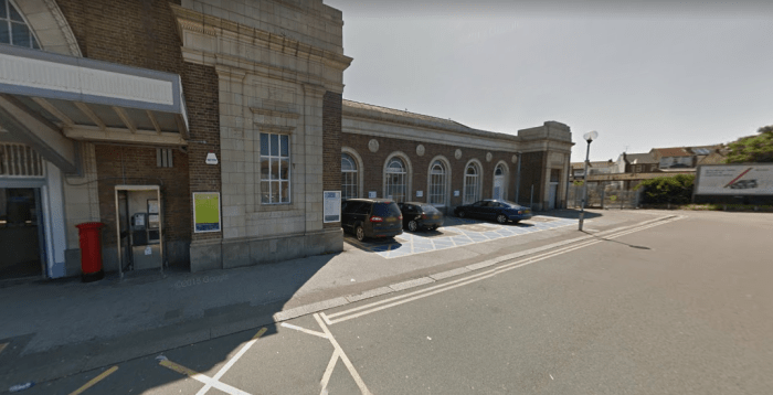
Station Approach Margate CT9 5AD, UK (Margate train station seen in The Jolly Boys Outing)
Google Maps Co-ordinates: 51.385458, 1.372092

Middlesex Arms, Long Drive, Ruislip, UK (Nags Head – Miami Twice)
Google Maps Co-ordinates: 51.557316, -0.397546


Knoll House, Studland Bay, Dorset, UK (It never rains – Benidorm)
Google Maps Co-ordinates: 50.648619, -1.957288


Margravine Cemetery, Field Rd, Hammersmith, UK (Grandad’s Funeral) (Opened in 1868 – More Info)
Google Maps Co-ordinates: 51.488823, -0.215894

Sainsburys, Penn Street Broadmead, Bristol, UK (Batman & Robin Episode)
Google Maps Co-ordinates: 51.458084, -2.586775


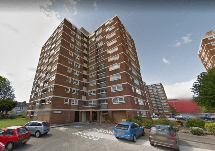
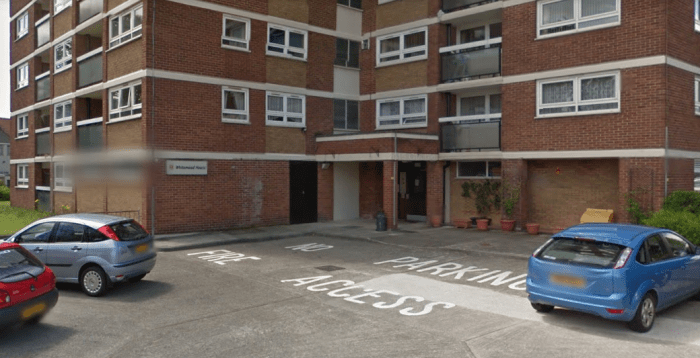
Whitemead House, Ashton Gate, Bristol, UK (Nelson Mandela House) (Built in 1963 by construction company Laing – More Info)
Google Maps Co-ordinates: 51.440369, -2.617700

Lileth Spiritualist Church and the Sanctuary of Healing, Somerset Road, London (Vimmal Malik’s Flat)
Google Maps Co-ordinates: 51.508359, -0.315617


17A Druid Stoke Avenue, Bristol, UK (Boyce’s House ‘The Sky’s The Limit’) (Built in the 1980’s – More Info)
Google Maps Co-ordinates: 51.481932, -2.637517


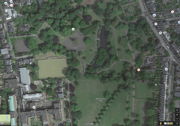
Ravenscourt Park, London, UK (Rodney captures butterfly)
Google Maps Co-ordinates: 51.497736, -0.239052
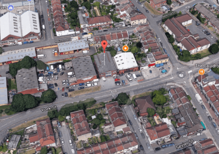
10-16 York Street, St Werburgh’s, Bristol, UK (Alan Parry’s Printing Business)
Google Maps Co-ordinates: 51.469846, -2.576553

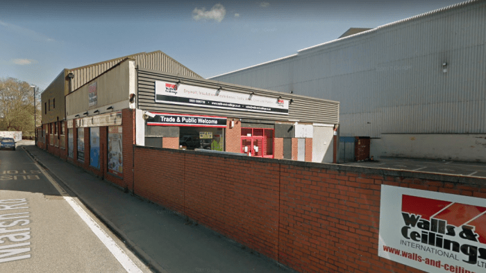
75 Marsh Rd, Ashton Gate, Bristol, UK (Boyce Automobiles)
Google Maps Co-ordinates: 51.440450, -2.622735
Humber Bridge, Hull, UK (To Hull & Back) (Built in 1972 – More Info)
Google Maps Co-ordinates: 53.719930, -0.451237


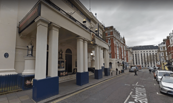
Theatre Royal, Drury Lane, Covent Garden, London, England, UK (Theatre used in ‘A Royal Flush’)
Google Maps Co-ordinates: 51.512824, -0.120339

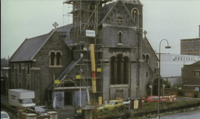
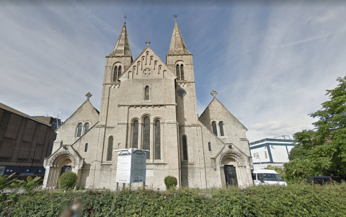
23 Highgate Road, London, London Borough of Camden (Church seen in Miami Twice)
Google Maps Co-ordinates: 51.552441, -0.142315

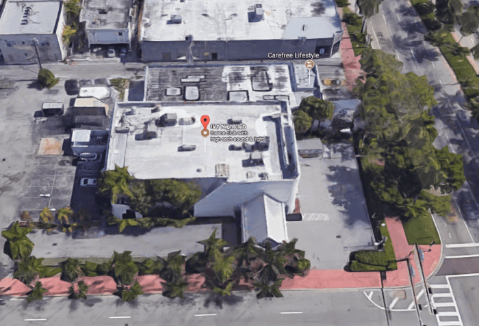
IVY Nightclub, 5th Street, Miami Beach, FL (Miami Nightclub)
Google Maps Co-ordinates: 25.774874, -80.139176

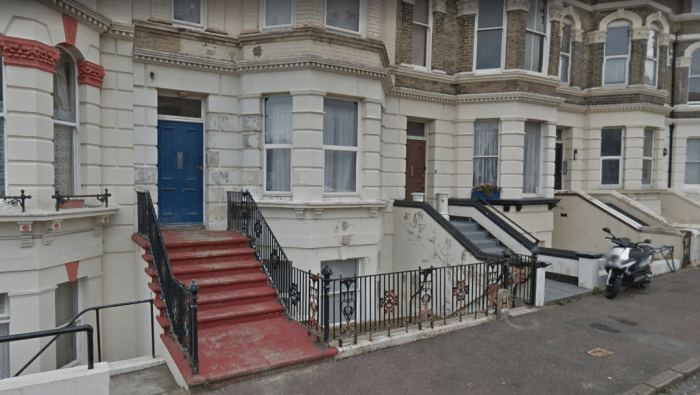
32 Dalby Square, Cliftonville, Margate (Mrs Baker’s B&B – Jolly Boys Outing)
Google Maps Co-ordinates: 51.390761, 1.392988

Note: The “Villa Bella” B&B has unfortunately been demolished.
Number of Episodes: 64
Cast: David Jason, Nicholas Lyndhurst, Buster Merryfield, John Challis…


Pingback: Google Sketchup: Only Fools & Horses – Nelson Mandela House | Global Film Locations
Pingback: Explore the Surprising Facts of Only Fools and Horses' Iconic London Spots - First Time in London