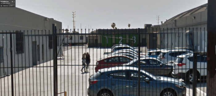
Locations:
7333 Radford Ave, North Hollywood, CA, United States (Teller-Morrow Repair Shop)
Google Maps Co-ordinates: 34.203584, -118.393120

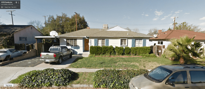
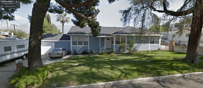
10709 Floralita Ave, Sunland-Tujunga, CA, United States (Jax’s Home) (Built in 1957 – More info)
Google Maps Co-ordinates: 34.263687, -118.318616

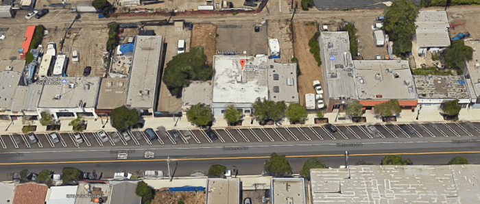
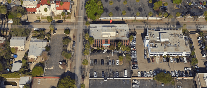
10035 Commerce Ave, Tujunga, CA, United States (Motorcycle Club)
Google Maps Co-ordinates: 34.251280, -118.288859
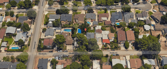
10244 Floralita Ave, Sunland-Tujunga, CA, United States (Opie’s Home)
Google Maps Co-ordinates: 34.255447, -118.318224
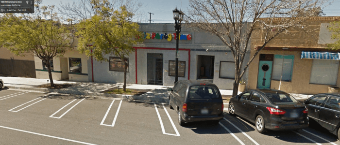
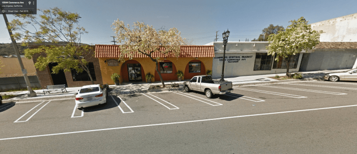
10055 Commerce Ave, Tujunga, CA, United States (Grocery Store)
Google Maps Co-ordinates: 34.251741, -118.288796

122 West 8th Street, San Pedro, CA, United States (Sheriff Station)
Google Maps Co-ordinates: 33.737059, -118.280801


14550 Haynes St, Van Nuys, CA 91411, USA (Jax gives Tara a ride home from work)
Google Maps Co-ordinates: 34.189531, -118.450684

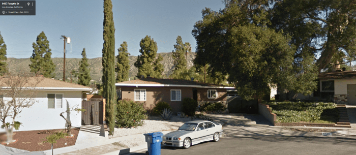
8431 Forsythe St, Sunland-Tujunga, CA, United States (Ernest Darby’s Home)
Google Maps Co-ordinates: 34.266447, -118.316853

11920 Cohasset St, North Hollywood, CA, United States (Government Safe House)
Google Maps Co-ordinates: 34.206475, -118.392906


Extra:
Trailer
Episodes From: (2008-2014)
Run time: 45m
Made by: Kurt Sutter


Pingback: Bewitched Film Locations – Global Film Locations