Locations:
THE SIMPSONS – IN THE NAME OF THE GRANDFATHER (Season 20, Episode 14)
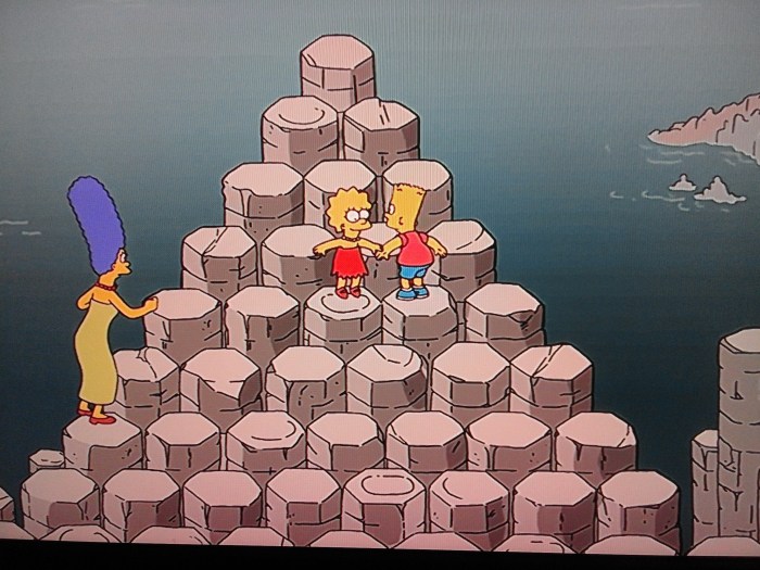
Giant’s Causeway, Causeway Road, Bushmills (The result of a volcanic eruption – More info)
Google Maps Co-ordinates: 55.240813, -6.511530

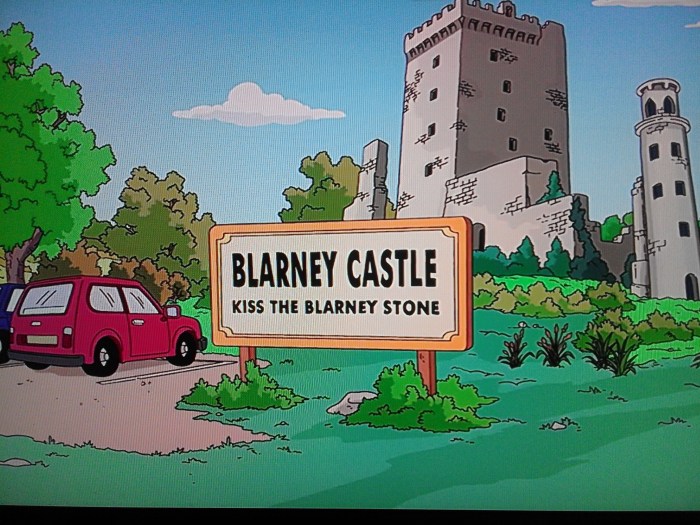
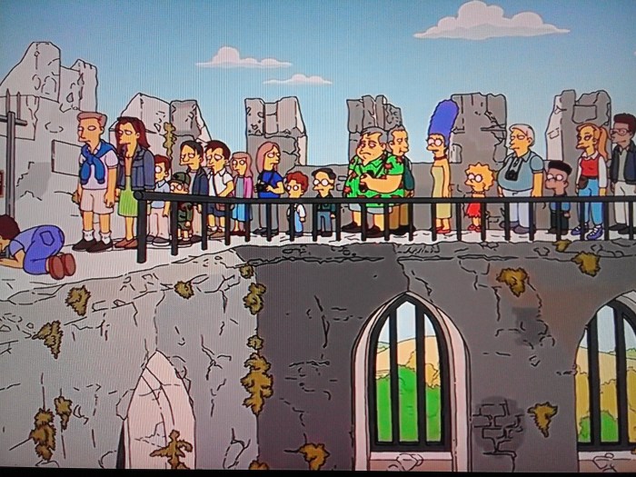
Blarney Castle, Cork, Ireland (Originally built in 1210 – More info)
Google Maps Co-ordinates: 51.929124, -8.570902

Release Date: 22/03/2009
Run Time: 25m
THE SIMPSONS – TO COURIER WITH LOVE (Season 27, Episode 20)
Paris-Charles de Gaulle Airport, Roissy-en-France, France (Built in 1974 – More info)
Google Maps Co-ordinates: 49.009709, 2.547797

Eiffel Tower, Avenue Anatole France, Paris, France (Built in 1889 by architect Charles Léon Stephen Sauvestre – More info)
Google Maps Co-ordinates: 48.858273, 2.294475

Release Date: 08/05/2016
Run Time: 25m
THE SIMPSONS – THE REGINA MONOLOGUES (Season 15, Episode 4)
Harrods, Brompton Road, London (More info)
Google Maps Co-ordinates:51.499189, -0.164360


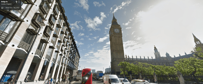
Big Ben, London, UK (Built in 1855 by architect Augustus Welby Northmore Pugin – More info)
Google Maps Co-ordinates: 51.500716, -0.124649

Release Date: 23/11/2003
Run Time: 25m
THE SIMPSONS – VIVA NED FLANDERS (Season 10, Episode 10)
Bellagio Hotel and Casino, South Las Vegas Boulevard, Las Vegas, NV, United States (Built in 1998 – More info)
Google Maps Co-ordinates: 36.113124, -115.176430


Release Date: 10/01/1999
Run Time: 25m
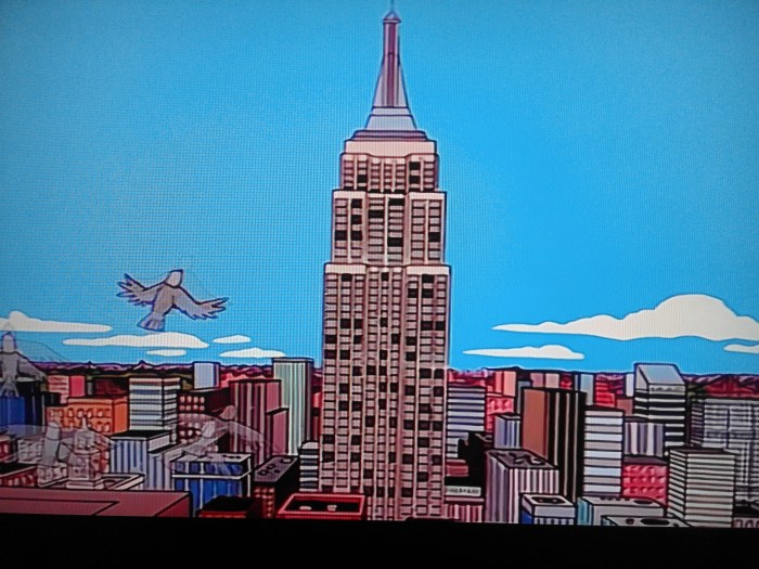
THE SIMPSONS – THE CITY OF NEW YORK VS. HOMER SIMPSON (Season 9, Episode 1)
Statue of Liberty National Monument, New York, NY, United States (Built in 1886 by architect Alexandre Gustave Eiffel – More info)
Google Maps Co-ordinates: 40.689242, -74.044521

Empire State Building, 5th Avenue, New York, NY, United States (Built in 1931 by architectural firm Shreve & Lamb – More info)
Google Maps Co-ordinates: 40.748461, -73.985671

Release Date: 21/09/1997
Run Time: 25m


