Locations:

Canal Side, Fort Augustus, Loch Ness, Scotland, UK (The Tent)

Google Maps Co-ordinates: 57.146562, -4.675408

grand-tour-episode-11-tent

grand-tour-episode-11-tent-sv

Cromarty Bridge, A9, Dingwall (North Coast 500 – approx)

Google Maps Co-ordinates: 57.611667, -4.356389

north-coast-500.png

Wroughton Airfield, Swindon, United Kingdom (The Eboladrome –Jeremy Drives The Lexus) (Built in 1940 – More info)

Google Maps Co-ordinates: 51.513838, -1.795945

the-grand-tour-test-track-layout22.png

the-eboladrome-new-102

Wank, Garmisch-Partenkirchen, Germany (Street View Unavailable)

Google Maps Co-ordinates: 47.507801, 11.143742

wank-germany.png

Benediktinerabtei Ettal, Kaiser-Ludwig-Platz, Ettal, Germany (Seen in the background, 31 minutes in)

Google Maps Co-ordinates: 47.569597, 11.094676

Benediktinerabtei-Ettal-sv.png

Credit

Kissing, Germany

Google Maps Co-ordinates: 48.302892, 10.973526

kissing-germany.png

Petting, Germany

Google Maps Co-ordinates: 47.912723, 12.813886

petting-germany.png

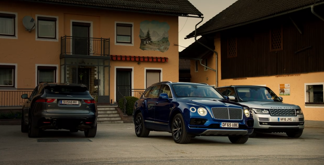
Fucking 10, Austria (Richard and Jeremy sit in James’ Bentley)

Google Maps Co-ordinates: 48.067552, 12.862833

fucking-germany.png

St Mary’s Reigate, Chart Lane, Reigate, UK (Porsche Launch Control)

Google Maps Co-ordinates: 51.236711, -0.197260

Zeppelin-Tribüne, Beuthener Straße, Nuremberg, Germany (“This is not the nurburgring”)

Google Maps Co-ordinates: 49.431510, 11.125010

Franken-Schotter GmbH & Co. KG, Treuchtlingen, Germany (Many thanks to Marcel for finding this location)

Google Maps Co-ordinates: 48.923475, 10.920007

the-grand-tour-episode-12-quarry.png

the-grand-tour-episode-12-quarry-sv.png

Credit

Series 1, Episode 12

Cast: Jeremy Clarkson, Richard Hammond & James May

Episode 12 Trailer

Subscribe For Access To New Content

Join 375 other subscribers

3 responses to “The Grand Tour – Series 1 Episode 12 Film Locations”

  1. Marcel Avatar
    Marcel

    I’m 99% sure I found the quarry. The company is called Franken-Schotter GmbH & Co., and it’s located about 40 km almost directly south of Nuremberg. The nearest town and mailing address is Treuchtlingen, and the town of Langenaltheim just to the south is also visible in some of the aerial photography on the show (as well as a couple of windmill generators). The coordinates of the entrance to the quarry from the regional road are 48°55’25.55″N, 10°55’1.30″E.

    Unfortunately the newest imagery Google Earth has of the area is from 2007 or 2008, but if you pause the episode at 58m06s, this aerial view seems to be looking almost straight southwest, and Langenaltheim appears in the upper left corner of the image. It looks a little different on Google Earth as they’ve obviously done more excavation in the last 8 or 9 years, but the overall shape is the same. I think this is it.

    1. Global Film Locations Avatar

      Thank you Marcel for your finding. I’ve compared the two and it does seem that that is the quarry they used. I appreciate your hard work in finding it, ill be sure to credit you now when I edit the post 🙂 and again, thank you

  2. […] The Grand Tour – Episode 12 […]

Leave a Reply

This site uses Akismet to reduce spam. Learn how your comment data is processed.

Designed with WordPress

Discover more from Global Film Locations

Subscribe now to keep reading and get access to the full archive.

Continue reading