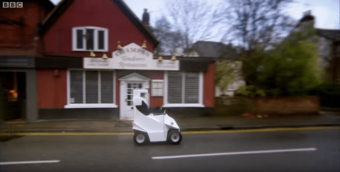
Jeremy takes on the roads of Guildford, all the way to London in his “innovative” P45 car. His journey takes him approximately 35-40 miles across high streets, main roads and the motorway.
Locations:
Champan Tandoori, Guildford
Google Maps Co-ordinates: 51.193732, -0.557607

Woking Rd, Guildford GU1 1QA (Entering the A3)
Google Maps Co-ordinates: 51.249401, -0.573255


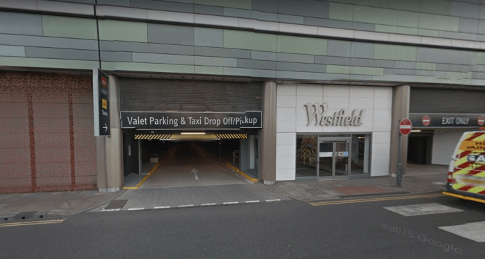
Westfield Shopping Centre, Ariel Way, London (Jeremy takes the P45 shopping)
Google Maps Co-ordinates: 51.507705, -0.219195

Clip
Series 19, Episode 1


